BOOK - Primary School Atlas of Kenya (Set of 100+ maps)
95 page pictorial atlas was created for use by public primary schools in Kenya. I completed this project in it's entirety on my own from cover to cover, from concept to completion, including the copy writing. No other artists worked on the creation of this book.
▼ OTHER MAP PROJECTS
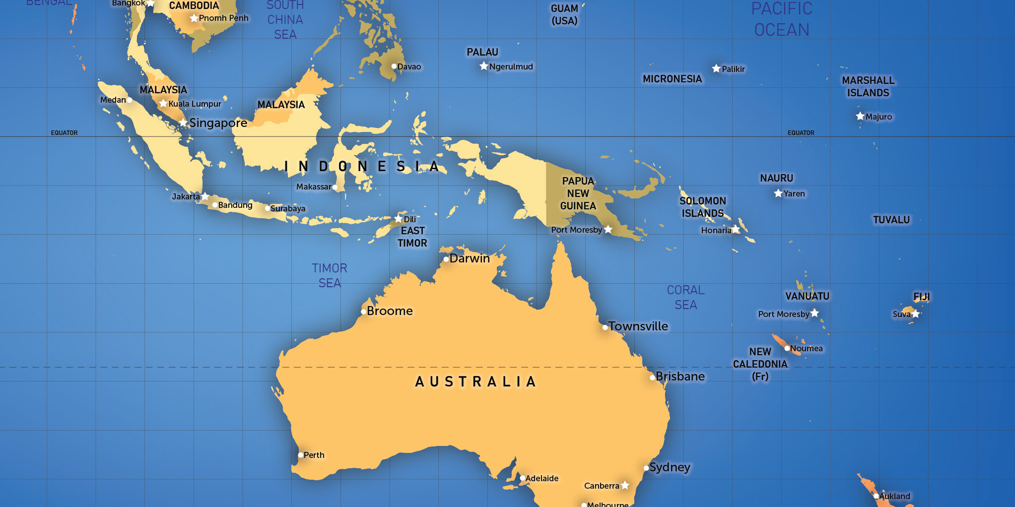
BOOK: Len Waters – Boundless and Born to Fly (4 maps)
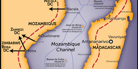
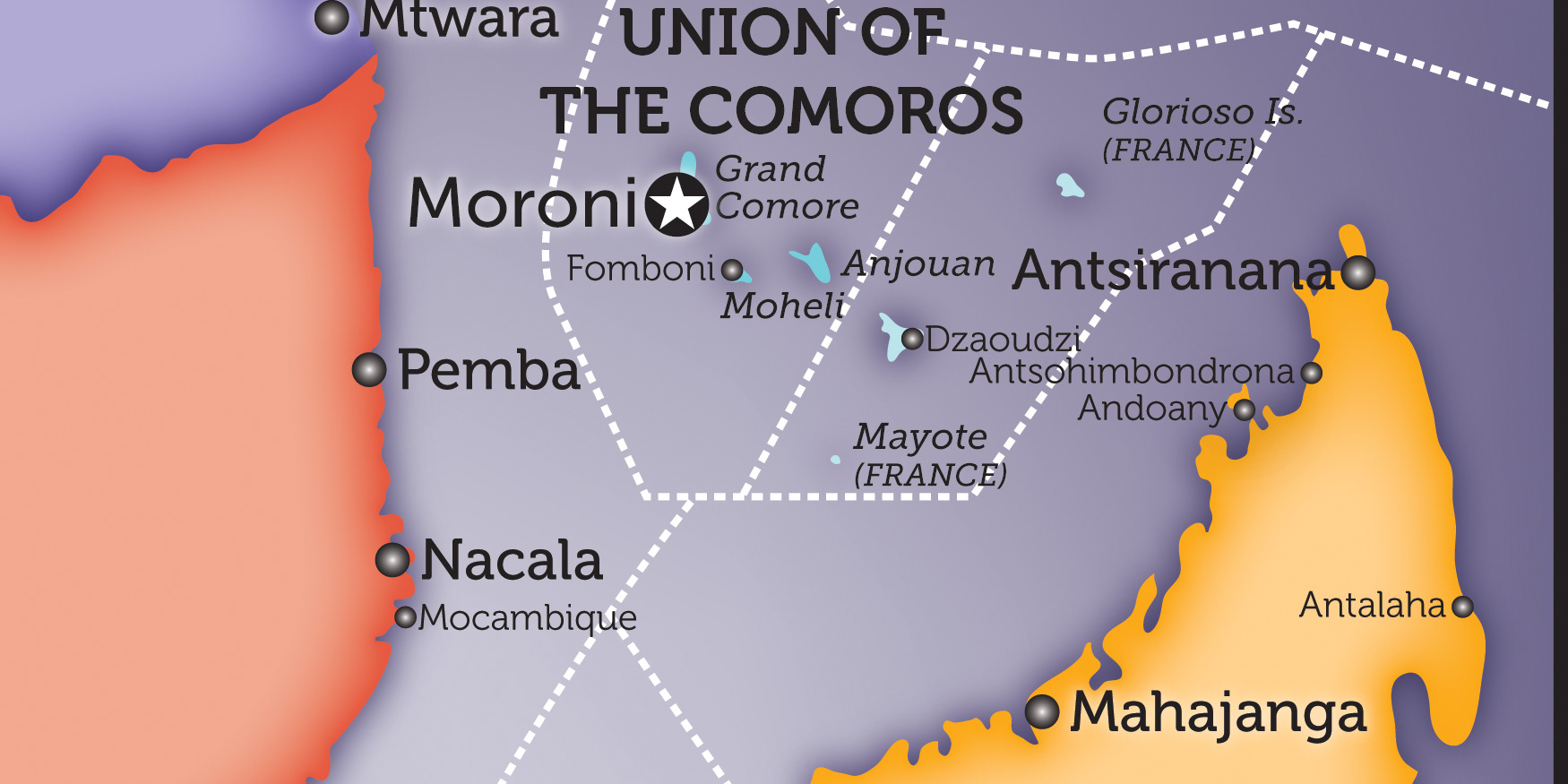
Mozambique Channel (1 map)
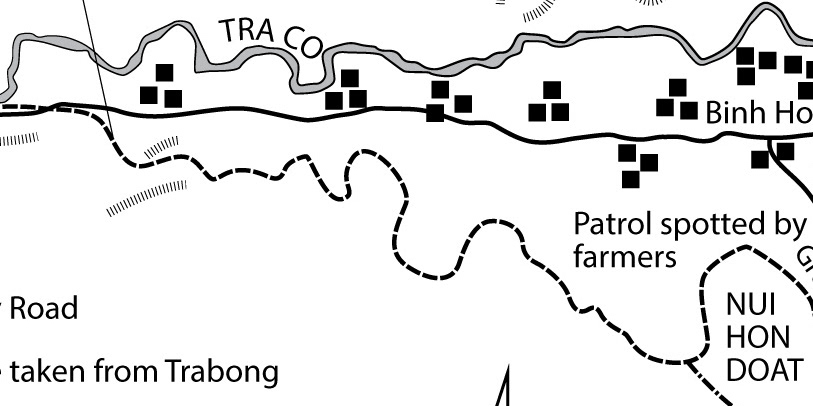
BOOK- Dasher VC (5 maps)
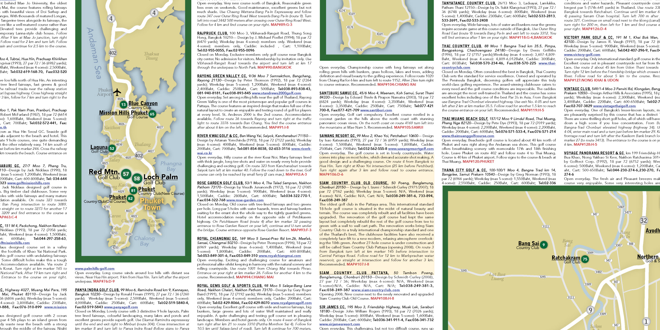
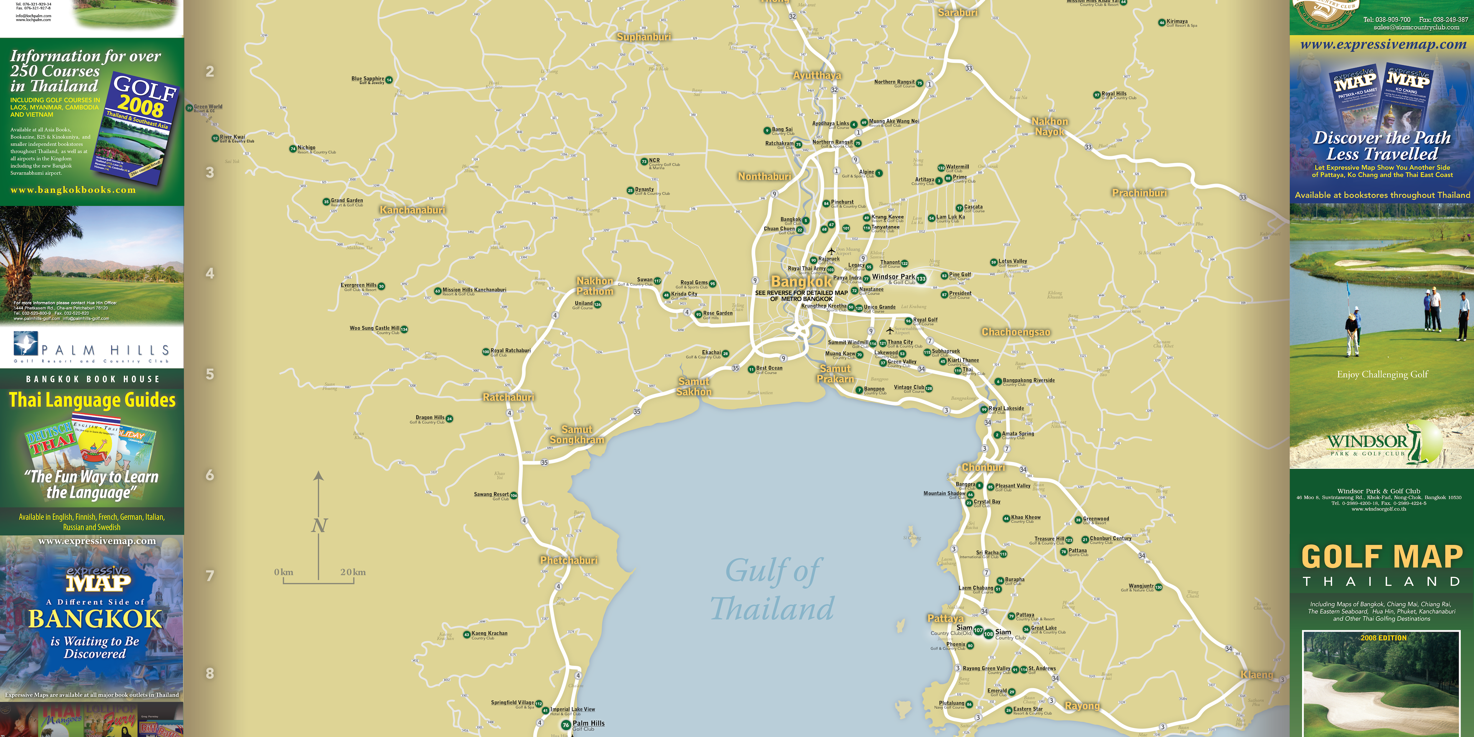
Golf Map Thailand (folded oversize map)
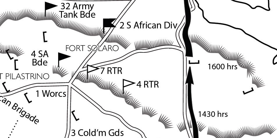
BOOK: Fiercely Stand or Fighting Fall
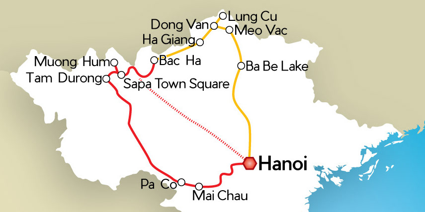
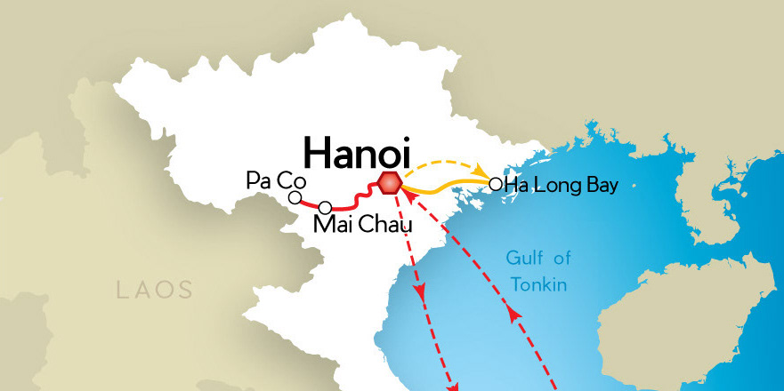
Vietnam Tour Maps (2 maps)
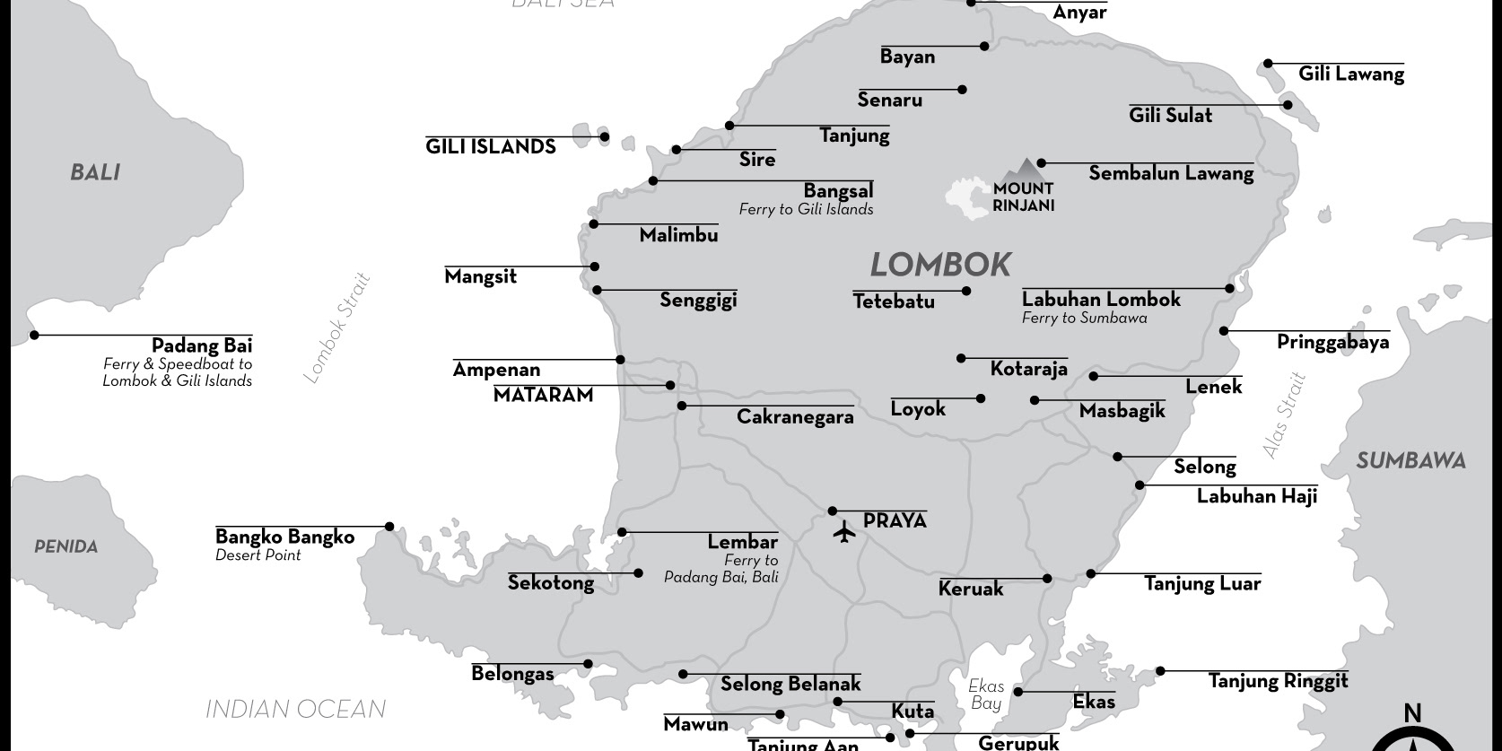
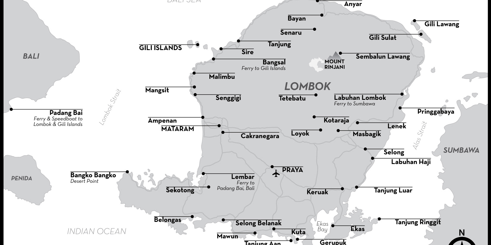
Lombok & Gili Islands (2 maps)
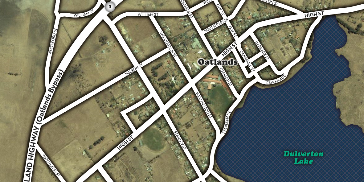
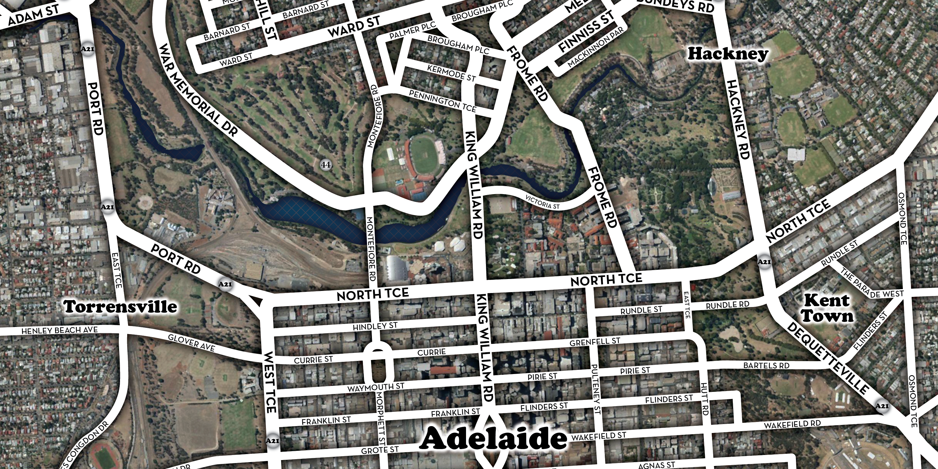
The Garagesale Trail (22 maps)
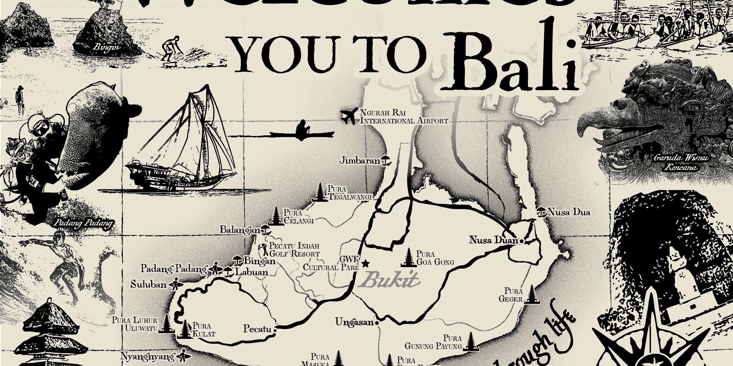
Resort Welcome Flier (1 map)
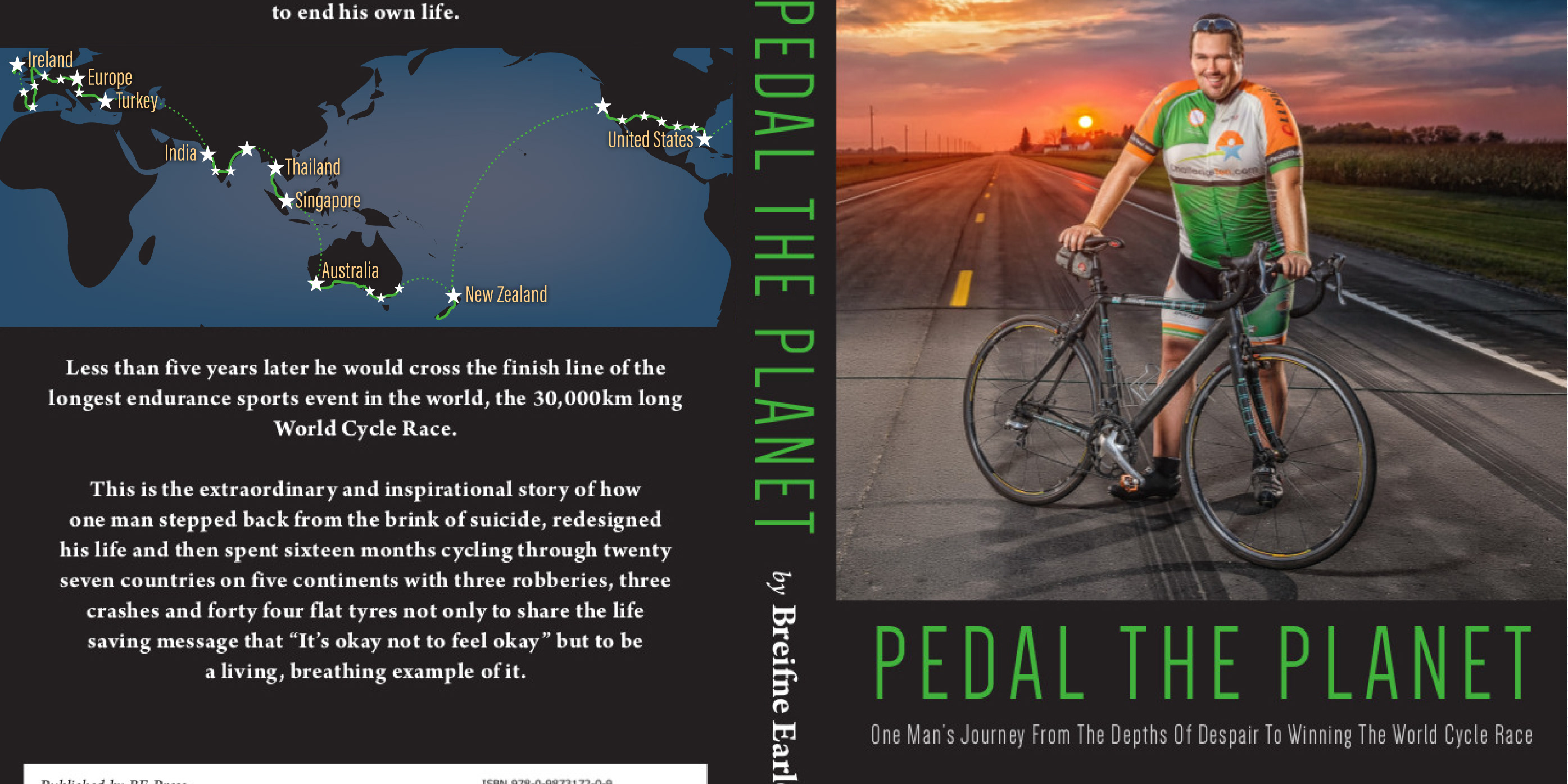
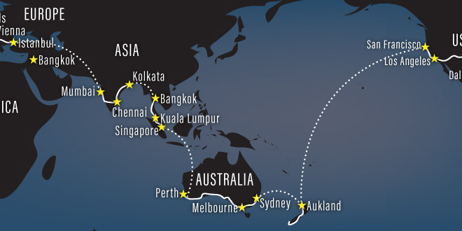
Back Cover Map for Memoir
