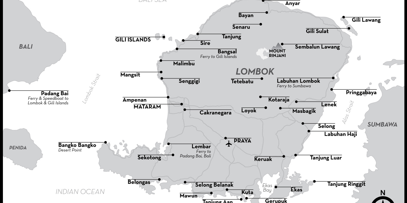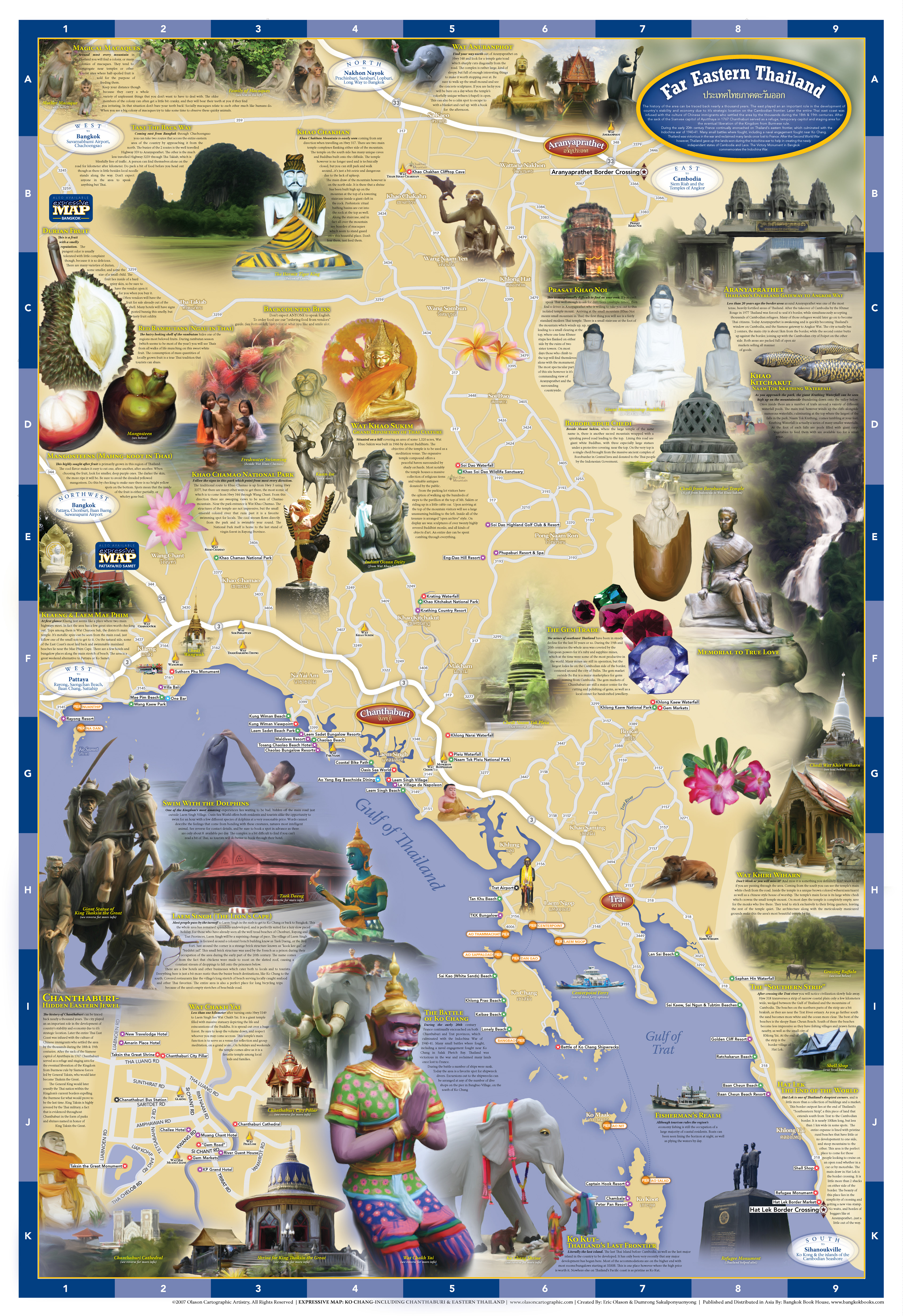

This was the third of 3 maps I made in 2007. To gather all the photos I used in my illustrations I rented a car and drove alone around this region. My goal was to drive the back roads and photograph interesting places, people and things off the very well beaten path. There were multiple trips taken with friends during 2007 to destinations within this region where I gathered even more photos. All the illustrations on this map come from photos I took on those trips. This map was sold for 3 years in bookstores throughout Thailand.