Full Map Archive
WALL ART MAPS
BIOGRAPHY
OTHER GRAPHIC DESIGN
CONTACT
Eric Olason
Full Map Archive
WALL ART MAPS
BIOGRAPHY
OTHER GRAPHIC DESIGN
CONTACT

FAA Weather LED Maps

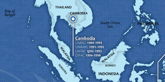
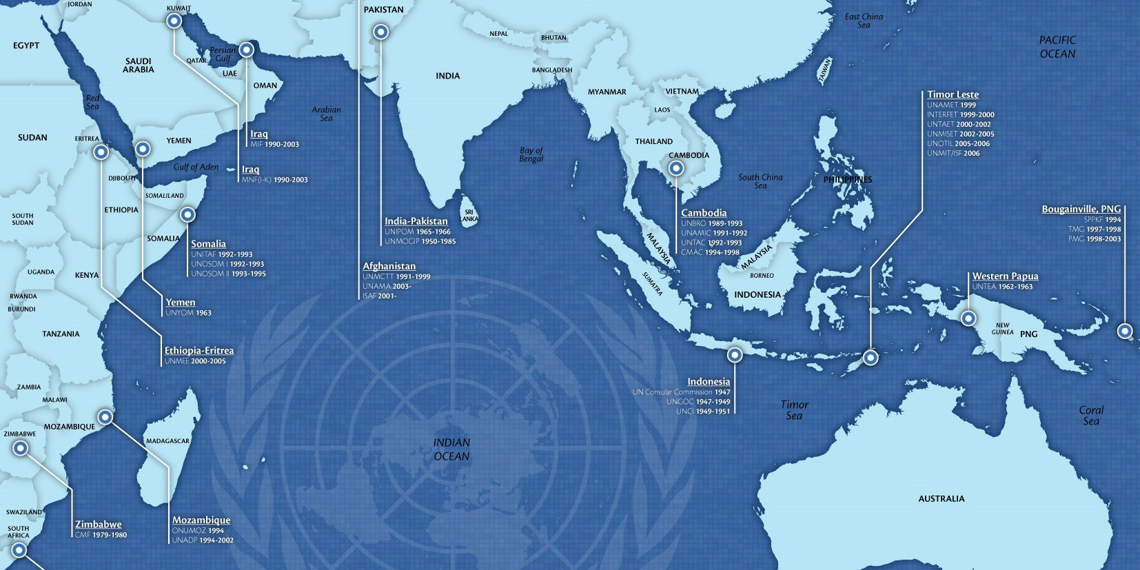
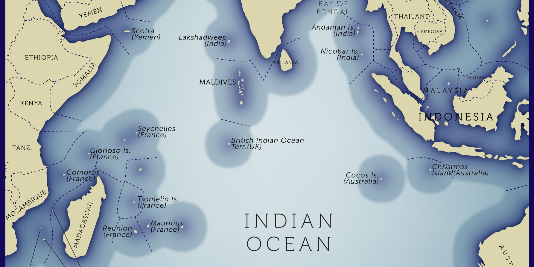
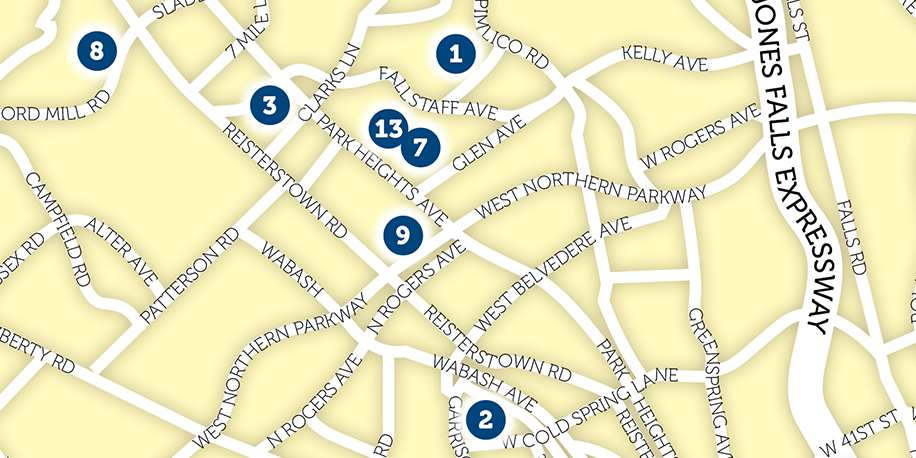
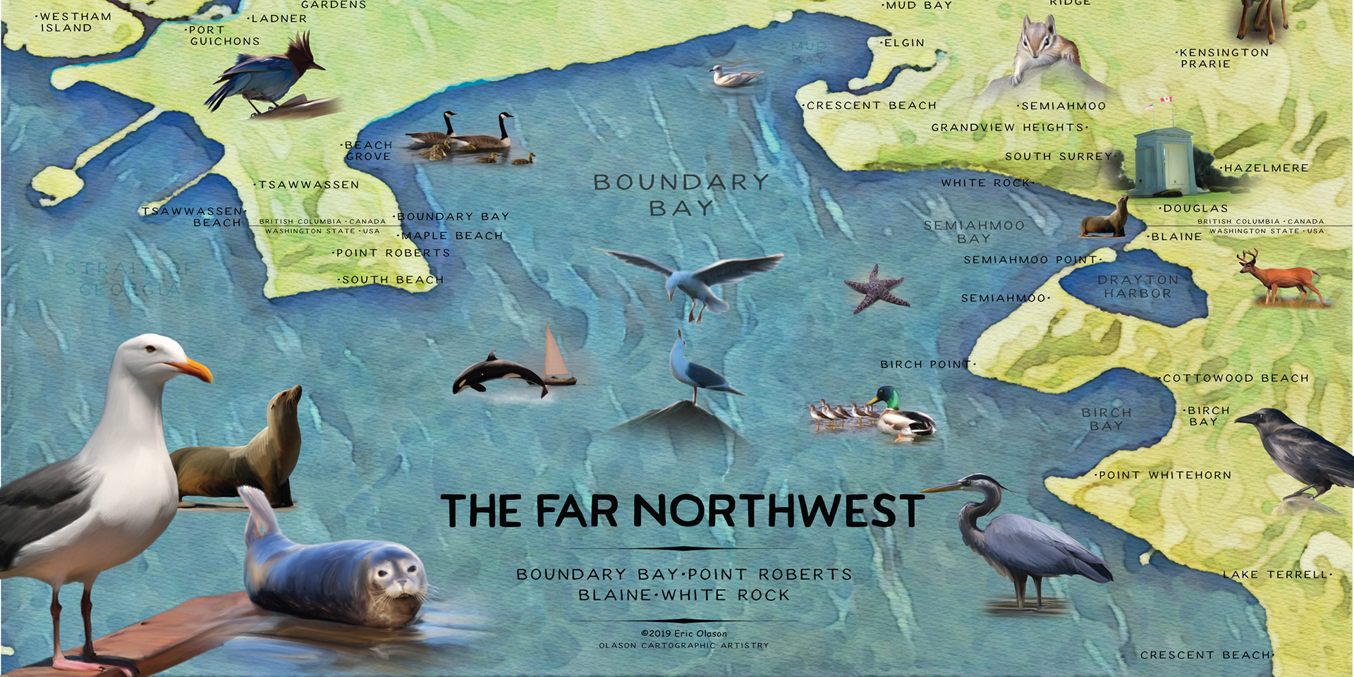
First in a set of 3+ large format maps. Maps will be outfit with led lights alerting pilots to weather conditions at airports across the state.

▼ OTHER MAP PROJECTS

Indonesia Strategic Energy (1 map)
BOOK - "Greece February to April 1941" (15 maps)
Post Falls Idaho (oversize hand illustrated kiosk map)
BOOK - "Captain Starlight" (3 maps)
Greek Ancestry in the Levant
New Zealand Watercolor Style Wall Map
Japanese Indian Ocean Raid 1942 (1 map)
Koh Chang Expressive Map (folded map)
The Counties of Washington State Wall Map
BOOK "Towoomba to Torokina" (10 maps)
↑Back to Top
To buy a copy of any map or order a custom map contact me@ericolason.com